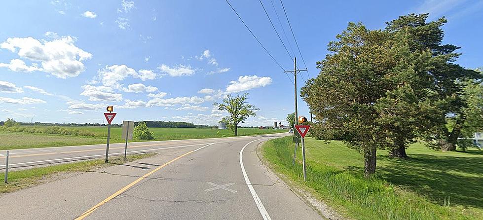
The highway covers approximately 396 miles in Michigan, which takes you through various landscapes, including farmland, forests, suburban communities, and more.
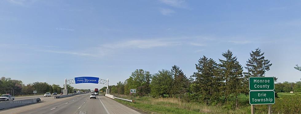
Cross the Michigan-Ohio state line on I75 and find yourself in a rural freeway without many houses, businesses, or crossroads. With the busy corridor between Toledo and Detroit, it's an odd change from the urban freeway in Michigan.