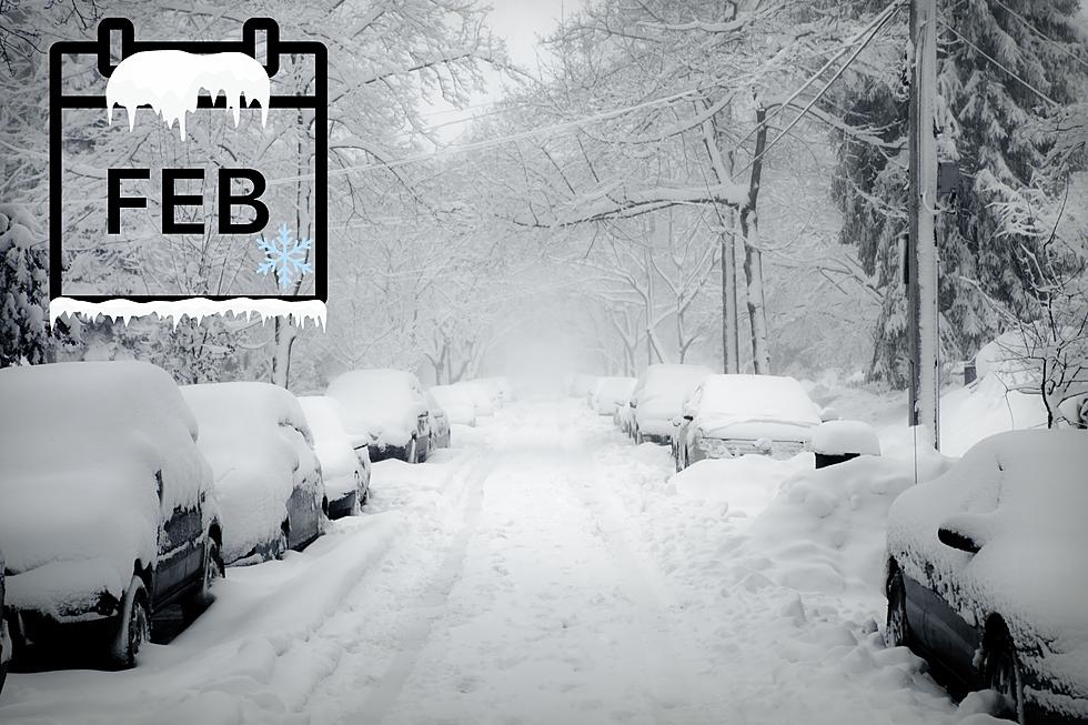
Winter Storm Warning Issued for Genesee County
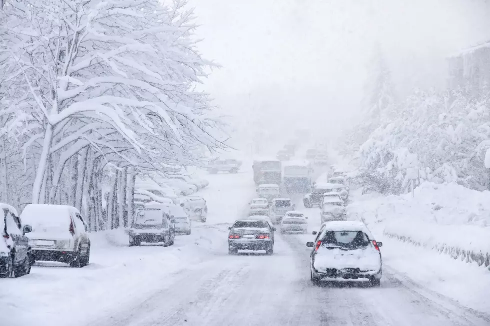
Things are going to get ugly across the southern part of Mid-Michigan and the Thumb Region as a major snowstorm is heading our way.
The National Weather Service has issued a Winter Storm Warning from 6 p.m. today (Monday) through noon on Tuesday.
According to ABC12, The Winter Storm Warning covers Genesee, Huron, Lapeer, Livingston, Oakland and Sanilac counties. The National Weather Service in Detroit is calling for about 5 to 8 inches of snow to fall in those counties.
We've been pretty lucky this winter so far as we've managed to avoid major snowfall in our area. Well, all of that is about to change tonight.
The National Weather Service also issued a Winter Weather Advisory for Bay, Gratiot, Midland, Saginaw, Shiawassee and Tuscola counties. They could get anywhere from 2-5 inches of snow.
Highest snowfall totals expected from the Lake Huron shoreline
southward through metro Detroit, Ann Arbor and near the Ohio
border.
Temps will remain in the teens today and tomorrow but will slowly start rise as the week continues. While there is a lot of snow in the forecast in the coming days, things should start to warm up next week. It's still going to be cold but not as brutal as it's been the last couple of weeks. Next week we'll get back into the 30s and possibly even into the 40s.
When you get home from work this evening you might want to cover your windshield so it's easier to clean off in the morning. You can purchase a windshield cover at most auto parts stores, but if you are looking for a more cost-effective way to keep your car windows clear of frost, you may want to try cardboard, a tarp, cloth or old rubber bath mats. Since I'm not lucky enough to park in the garage like my girlfriend, I'll just throw a piece of cardboard on the windshield of my truck.

MORE TO EXPLORE: Michigan Ice Caves
More From Banana 101.5