You’ve Probably Never Seen The Real Shape of Michigan Before
Everybody knows that Michigan is shaped like a mitten, but what they don't know is that it actually isn't. It's complicated.
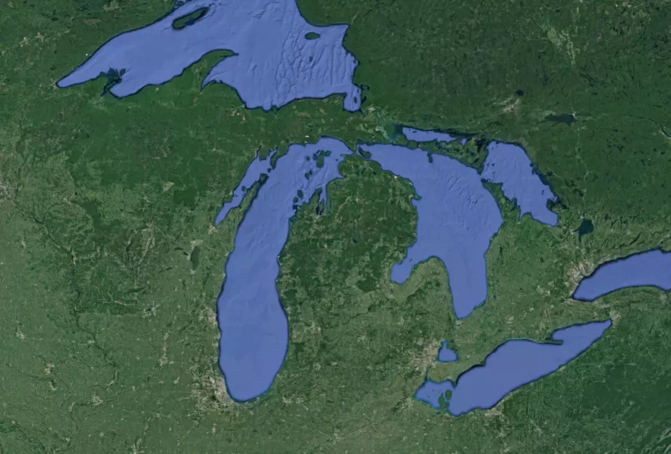
Yes. Michigan's Lower Peninsula is shaped like a mitten, or at least the peninsula itself is shaped like a mitten. However, Michigan is unlike almost every other state in that most of its appearance on a map is dictated by the awesome natural landmarks that are the Great Lakes. A majority of states have no real shape other than the imaginary lines drawn to define their borders on the map.
The thing you may not know, and that hadn't really occurred to me until I saw the map below, is that Michigan's border does not end at the shoreline. It actually expands into the Great Lakes. So if Michigan didn't have these awesome bodies of water surrounding us (a real possibility when companies like Nestle are allowed to hit the all-you-can-take Michigan water buffet for around $200) -- the shape of our state would look like this:
I first saw this at the top of Reddit earlier today and thought, "Hmm. Is that for real?" After a brief amount of research and some thought, I realized it is. As you can see, those borders are defined in the Google Map Below as well.
This is one of those random tidbits of knowledge your third-grade geography teacher probably used to blow your mind, but has been erased by years of staring at mitten shaped swag... even though the truth has been right there in front of our faces all along. I will say that the mitten looks much better on a shirt than this sad drum major looking shape:

More From Banana 101.5


